The Florida National Scenic Trail

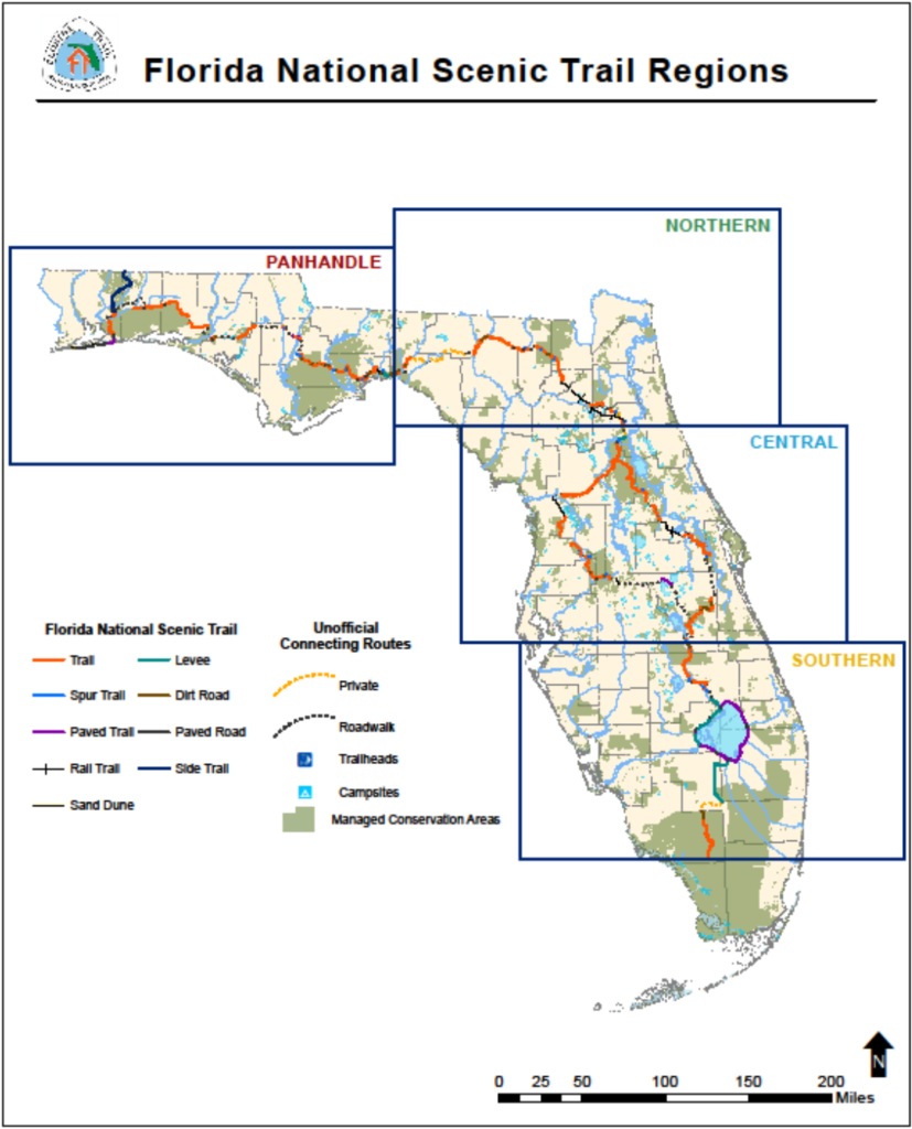
This national treasure is 1 of 3 walking trails contained entirely in one state, and 1 of 11 National Scenic Trails in the country. The Florida National Scenic Trail is divided into four main geographic regions: Southern Region, Central Region, Northern Region, and our very own Panhandle Region.
While the trail is mostly used for hiking, adventurers can also camp, swim, bike, horseback ride, paddle, and picnic on designated sections of the trail. In the Panhandle Region, you will find the unique environment Florida has to offer, some of which cannot be found anywhere else in the world! See pitcher plants, hardwood hammocks, salt marsh, pine flatwoods, orchids, and dune grasses all across northwest Florida (Panhandle Region). Observe wildlife in its natural habitat, and spot bald eagles, osprey, black bears, otters, sea turtles and piping plovers.
The closest segment of the Florida Trail borders the crystal clear spring-fed waters of Econfina Creek. The surprisingly rugged and delightfully diverse Econfina Creek Trail is 17.7 miles long and traverses ravines, sidehills, and high bluffs above this spring-fed creek. Looking to add a paddling excursion to the walking trail experience? Rent canoes and all the gear you need for a relaxing and fun-filled day on the Econfina waters at Econfina Canoe Livery.
Thru-hikers that complete the entire trail usually start in the southern region and work their way north. The thru-hiker season runs from October through April and an annual celebration and reunion called Billy Goat Day takes place every January.
Use the ArcGIS map, provided by the US Forest Service, to find your nearest access point, key data on trail management, and planning tools.